
Swiss map legend
Accessible to everyone: Level L1
This page is intended for all editors, including beginners.
The legend describes the segment types used in Switzerland and how they are displayed in the Waze editor (WME). The type is chosen based on the official signage visible on the ground. The colored dot below each type corresponds to its current display in WME.
Classification is specific to each country
Road classification differs from one country to another. Before editing in Switzerland, read the national Wiki. Do not apply the rules of a neighboring country by analogy.
Segments and junctions
A segment is a line bounded by two points. In WME, segments are used to draw streets. In our case, a segment is delimited by a junction.
Segment types
The original WME name (in English) is shown in parentheses, since it stays the same regardless of the editor language.
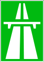
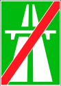
Freeway
A Freeway has separated carriageways, with no traffic lights or stop signs. It is accessible only through entrances and exits. Other streets must not be connected to it (except emergency service lanes). Many national roads follow a freeway: in that case, the freeway signage takes priority. The signs are green.

Major Highway
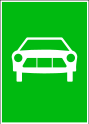
A Major Highway is an expressway. Expressway signs in Switzerland are green.
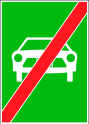
Minor Highway
A Minor Highway is a national road. All other yellow roads are classified as Primary Street.
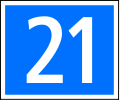


Ramp
Ramps are used for freeway and expressway entrances and exits.
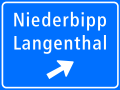
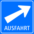
Primary Street
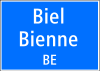
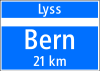
Primary Street corresponds to the main roads within a locality, according to the following signage.



Street
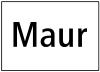
Under Street, we classify all secondary and neighborhood roads open to normal traffic, whether one-way or two-way. Secondary roads have white signs.
Displayed in white
Street is displayed in white in WME. The dot above is outlined with a thin border to remain visible.


Narrow Street
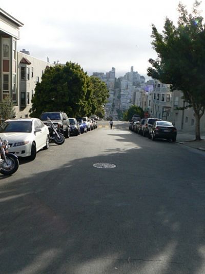
Narrow two-way lane. The usage rules are described in Segment geometry.
Dirt Road / 4x4
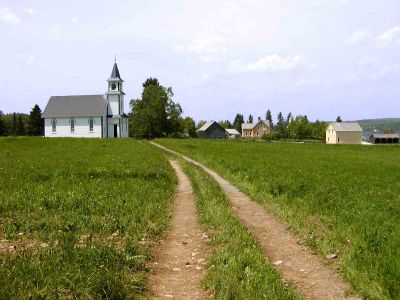
Dirt Roads are unpaved roads: forest roads, tractor tracks and 4x4 trails.
Parking Lot Road
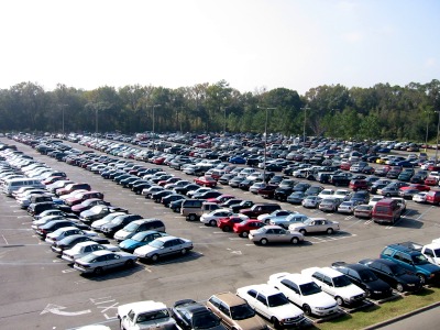
Parking Lot Roads are large parking lots, highway rest area parking lots, internal parking lanes and access roads to gas stations.
Private Road
Private Roads are all private streets displayed as such.
Walking Trail
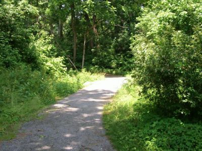
Walking Trails are all pedestrian paths. They must never connect two routable roads together.
Pedestrian Boardwalk
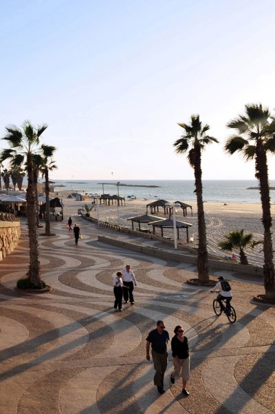
Pedestrian Boardwalks are pedestrian zones, including lakeside promenades. Same non-connection rule as Walking Trails.
Stairway
Stairways are staircases. Same connection restriction.
Railroad
Railroads are railway lines. In general, do not record them via the client but in the editor. They can be connected to other streets for level crossings. Enter the company name as the street name, without a city. Lock at level L5.
Runway/Taxiway
Runway/Taxiway are landing strips. They complete the map, but it is not advisable to map every airport: a landmark (a Place of type Airport) is enough.
Note
The segment type has a direct impact on route calculation. An incorrect classification can lead to inconsistent routes. When in doubt, refer to the Swiss editing rules.
Source(s)
- Swiss Map Legend: https://www.waze.com/discuss/t/legende-de-la-carte-suisse/377261
- Road type colors: WME palette verified by the Swiss community.